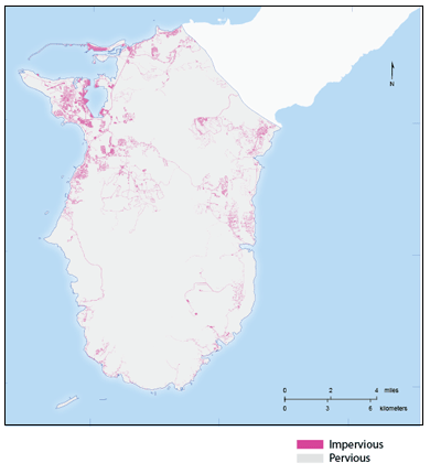
Southern Guam geospatial information serverPervious and impervious surfaces
About this map:This map shows the extent of pervious and impervious areas in southern Guam. The latter account for a relatively large proportion of the total land cover and include anthropogenic features such as buildings, parking lots and roads developed from asphalt, concrete, or other constructed surfaces that do not allow infiltration from precipitation. The source of the geospatial data are the land cover classification by NOAA Coastal Change Analysis Program (C-CAP) (2011). |
